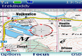
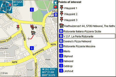
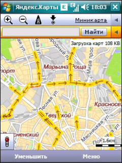
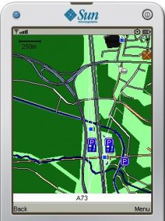
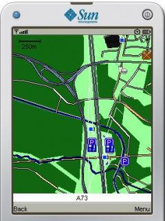
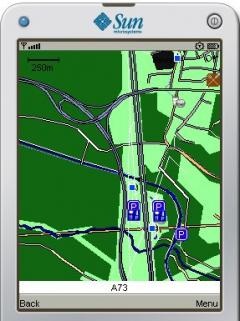
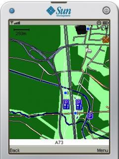
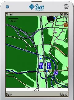
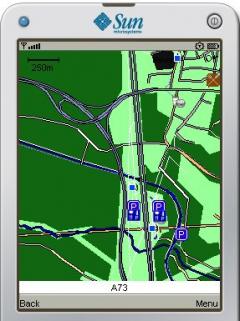
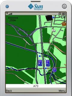
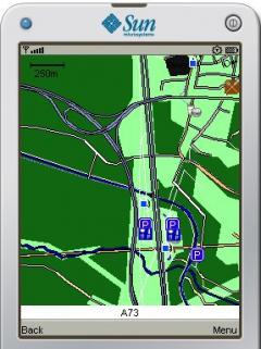
GpsMid is a free, fully offline, vector based map application for your mobile phone. It displays your current position on a zoomable map and can be used to search for and navigate to roads or points of interest of your liking. As all data is stored in a compact binary format on your mobile phone you will incur no charges for extra data downloads.
· Vector rendering of the roads, areas and points of interest
· Displaying the map either north on top or in the direction of driving
· Centering the map to a position received from your GPS
· NMEA GPS-unit with bluetooth connection.
· Devices with built-in JSR179 compatible location provider
· Zooming in and out to arbitrary levels of detail.
· Displaying the name of the street you are on and the maximum speed you may travel.
· Searching for a name (street, city or POI) and jumping to it on the map
· Searching for close by points of interest
· Calculating a route to a target street and navigate to it with voice guidance
· Adding and deleting of waypoints to the map
· Recording and displaying of track logs
· Importing and exporting track logs and waypoints to and from GPX
· Taking geotagged photos with your mobile
· Fully customizing which OSM features are used in GpsMid and how you want your map to look






Comments not found